This presentation will showcase the role of archaeology as a bridging discipline and the importance of synthesis in archaeological research. Dr. Carrie Hritz steps the audience through her research demonstrating how integration of spatial datasets from historical and declassified satellite imagery, digital elevation models (DEMs), and past archaeological surveys provides new insights into the nature and remains of past landscape transformations. Using southern Mesopotamia as a case study, this article addresses, both quantitatively and qualitatively, long-held assumptions concerning the nature and relationship of settlement patterns and river channel systems in antiquity. GIS and image analysis are used to fill in gaps in the settlement record and propose a revised location for the Tigris River during most of antiquity with significant implications for resource use and management in the past. Carrie discusses how synthesis of this data revealed patterns in human behavior and decision making, as well as potential contributions to current and future questions of how humans interact and are shaped and shape the environment for the future.
Presenters
Carrie Hritz
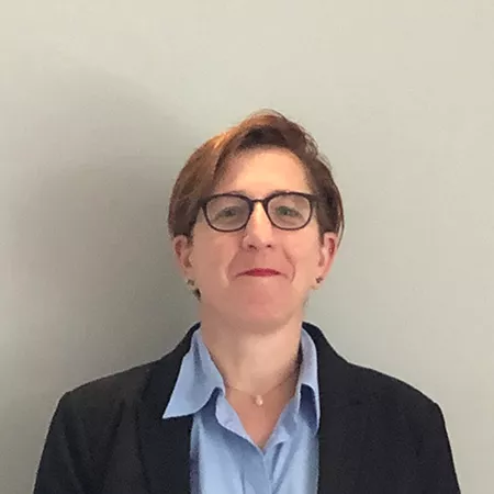
Dr. Carrie Hritz was the Associate Director and then the Director of Research at SESYNC from 2017 to 2020. Prior to joining SESYNC, Carrie was the Branch Chief of Partnership Communication and Outreach, working with tribal, state, and local governments, as well as other federal agencies in the Geography Division of the U.S. Census Bureau. Before working with the Census Bureau, Carrie was an American Association for the Advancement of Science (AAAS) Fellow placed in the Geosciences Directorate at the National Science Foundation, working in international and interdisciplinary funding initiatives...
Carrie Hritz
Dr. Carrie Hritz was the Associate Director and then the Director of Research at SESYNC from 2017 to 2020. Prior to joining SESYNC, Carrie was the Branch Chief of Partnership Communication and Outreach, working with tribal, state, and local governments, as well as other federal agencies in the Geography Division of the U.S. Census Bureau. Before working with the Census Bureau, Carrie was an American Association for the Advancement of Science (AAAS) Fellow placed in the Geosciences Directorate at the National Science Foundation, working in international and interdisciplinary funding initiatives. Carrie is trained as a landscape archaeologist with expertise in the use of geospatial tools and regional expertise in the Middle East, looking at the patterns of human-environment interactions during the period of the first urban cities. From 1999 to 2013, Carrie led archaeological fieldwork in Syria, Turkey, and Iraq, participating in one of the first projects to work in the southern Iraqi marshes since the late 1960s. From 2008 to 2014, Carrie was a faculty member at Penn State University and ran the GIS lab in the Department of Anthropology.
