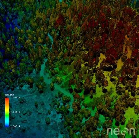
Images of the Earth from airplanes and satellites awe and inspire the viewer, but to scientists, these images aren't just spectacular photographs—they're also remotely sensed data. Such data can provide a spatially and temporally consistent framework for characterizing the environmental impacts and social responses that result from changes in land use and land cover change. When scientists evaluate the interactions between socio-environmental (S-E) processes together, their convergent research has greater potential to find solutions to some of our most vexing environmental challenges. While such work is challenging, a community effort to synthesize information provided by a variety of remote sensing data platforms with socially relevant data collected on the ground is now possible.
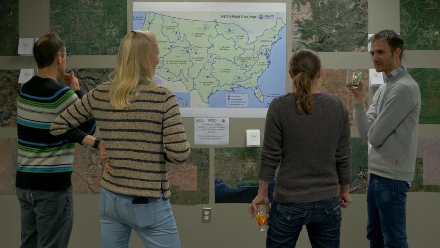
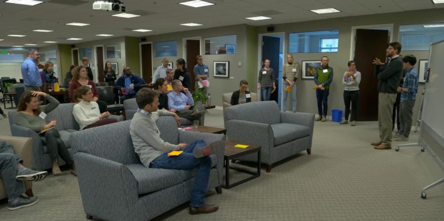
To explore this foundational opportunity, the National Socio-Environmental Synthesis Center (SESYNC) held a first-of-its-kind workshop, called People, Land, Ecosystems: Leveraging NEON for Socio-Environmental Synthesis. The workshop focused on the use of the National Ecological Observatory Network's (NEON) Airborne Observational Platform (AOP) remote sensing data, which includes imaging spectroscopy, Light Detection and Ranging (LiDAR), and high-resolution digital photography.
SESYNC hosted the workshop in response to the needs for new training opportunities and for the development of networks that can build their capacity to effectively use the AOP data. The workshop supported the community's larger goals of increasing the diversity of the user-base, clearly communicating standard best practices and opportunities for innovation, and providing networking opportunities for early-career scientists.
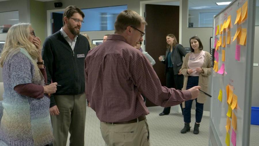
At the workshop, diverse presentations and discussions of the workshop highlighted the varied applications and potential of this under-used tool to understand S-E systems. For example, participant Matt Williamson, Assistant Professor at Boise State University, proposed examining how the current AOP data collections are arranged along social gradients described by existing data sets relevant to S-E systems. In another example, an urban ecology breakout group established that NEON AOP is uniquely positioned to measure ecosystem processes and plant species at regional extents and at a spatial resolution that matches socio-spatial scales of residential land management. Where data are available, this new technology will enable the comparison of vegetation characteristics with observations of the attitudes, motivations, and preferences for residential land management.

There was wide agreement among participants that the workshop was valuable due to the knowledge acquired about the AOP data and its applications, as well as the opportunity to network and explore opportunities for collaboration with diverse scientists.
Dr. Jason Julian, a professor at Texas State University, may have said it best, when he reflected, "I learned about the latest technology in hyperspectral remote sensing, had lunch with a Social Ecologist, had dinner with a Watershed Biogeochemist, and had my research ideas critiqued by an Environmental Economist---where else can that happen?" "I left the workshop energized by the conversations I had and the ideas we generated as a group," said participant Dr. Elsa Ordway, an HUCE Environmental Fellow at Harvard University. "Drawing on the range of peoples' disciplinary backgrounds was critical for exploring ways to leverage NEON AOP data for socio-environmental synthesis."
Learn more about the People, Land, Ecosystems: Leveraging NEON for Socio-Environmental Synthesis workshop here. Apply for the NEON-Enabled Socio-Enviromental Synthesis Pursuit now.
Videos of presentations during the workshop are now available on SESYNC's YouTube channel.

